Search This Blog

Monday 28 November 2005

Sedona

Slide Rock State Park, Arizona-

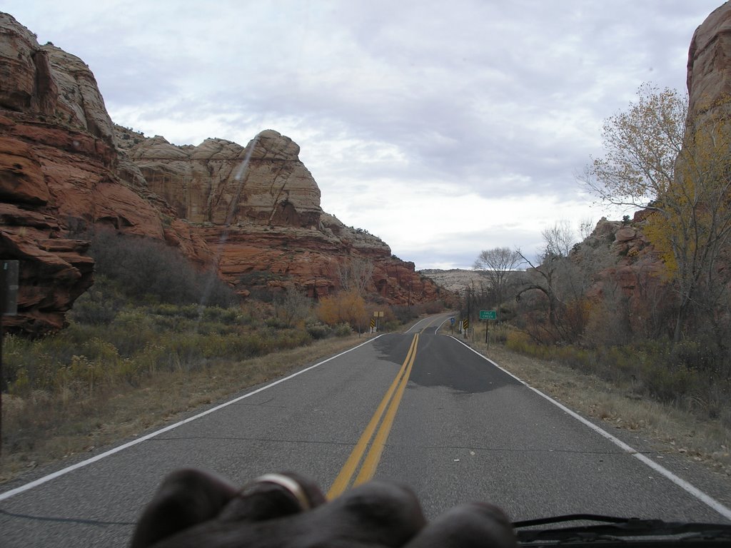
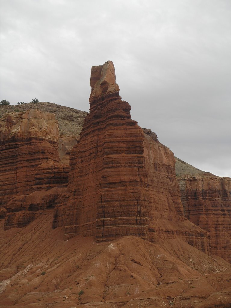
Sedona is picturesque. The town is surrounded by towering spires of red rock. It's full of artists, shops and galleries where photographs, paintings, pottery and silver and turquoise jewelry are sold.


We ride the motorbike up to Slide Rock State Park in the morning. The park used to be an apple orchard. The original barns, houses and equipment are on display, including an old waterwheel electricity generator. Mr Pendley's 1912 apple orchard has now been turned into a state park. We self-register and explore the park.


Pendley dug a two-mile system of flumes and tunnels up the mountain to deliver water to the orchard, which is about 100 feet above the adjacent river. This effort took him two years and appeared to be back-breaking work. Red Delicious apples seem to grow best here.


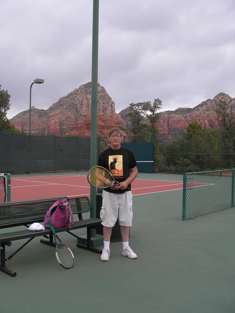
Tennis scores on the municipal court for today are 6-1, 6-2. I lose both sets. I'm obviously distracted by the surrounding scenery.


Later, a five-mile evening trip for groceries on the motorbike in the dark, rain and cold in heavy four-lane traffic adds some spice to the day. I fill my backpack with wine, whole-grain bread, eggs and sliced turkey.


The weather has been near or below freezing in the evenings for the last 
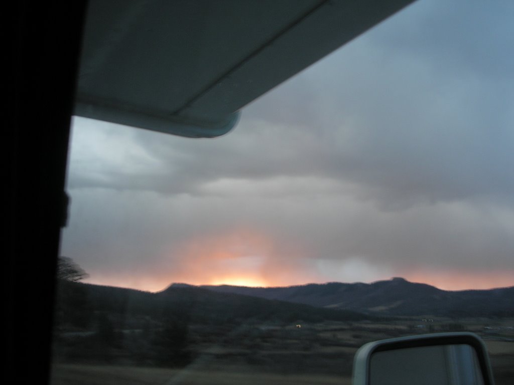
week. I have a dawn balloon trip over the red rock spires of Sedona booked in the morning to surprise Mrs Phred for her birthday present.


Saturday 26 November 2005

Mogollon: Ghost Town


Mogollon, New Mexico

The Mogollon ghost town was disappointing, except for the knuckle-biting moments on the one-lane five-mile drive up to the old abandoned mining town. The uphill drive is on the face of a cliff only wide enough for one vehicle over most of the drive. We hope not to have to back up the 30-foot-long RV. We should have driven the motorcycle up this bad road, but Mrs Phred hasn't been on one for thirty years and she still pounds my back to slow down on curves that I could easily take at seventy, wanting me to slow to twenty.


The evening campsite is 25 miles south of the Petrified Forest and Painted Desert. They have fishing, swimming and ancient petroglyphs here. It's a state park on a 1,500 acre lake at 6,000 feet. We climb the rocks in the park looking for the Indian petroglyphs, but find none as darkness falls.


 Tonight we are reading some of the bagful of used paperbacks we bought in Silver City, New Mexico, yesterday. I got three old Norman Mailers (including Tough Guys Don't Dance), a Stephen King, a Dean Koontz and a Robert Bloch. My Faithful Companion picked up a stack as well. There were no books on meditation. The cellular modem works on the picnic table outside the RV and I write about today's travel by flashlight.


Sunday 13 November 2005

Bandelier & Santa Fe

Santa Fe, New Mexico

Yesterday we spent the morning in Bandelier National Monument to see more Indian ruins.


The most interesting thing about all these parks is the work of the CCC. To join you had to be five feet tall, weigh at least 110 pounds and have three functional teeth. They built to last.


 The ruins have 500 rooms, cave dwellings, wall art petroglyphs and ceremonial kivas. Here are a few Bandelier pictures.


Today we caught a bus and went to an Andy Warhol-Georgia O'Keeffe exhibit at the Georgia O'Keeffe museum. She was an interesting lady. Things were never the same for her after her husband put the nude photos on display in the 1920s.


The downtown shops and the never-ending Santa Fe art galleries on Canyon Road are very unusual. Art is the industry of this town. It's everywhere. It's at bus stops and highway noise barriers and overpasses. All the buildings are adobe style and painted adobe brown with faux logs sticking out near the wall tops to represent an Indian style roof construction.


Friday 11 November 2005

The Teosinte Hypothesis

Santa Fe, New Mexico


The development of Maize (corn) by early Mesoamerican geneticists probably happened sometime between 10,000 and 6,000 BC in southern Mexico. This development has done more to enable a population explosion to six billion than any other human invention.


From the 1938 to the 1960s, Mangeldorf's 'Tripartite Hypothesis' on the origin of corn was widely accepted. He believed that corn was developed from a cross between an undiscovered wild Maize and the plant Tripsacum.


In 1968, George Beadle, in retirement, began to provide convincing evidence for his own 'Teosinte Hypothesis', which simply believed that Maize was developed from the plant Teosinte. Today scientists generally accept the Teosinte Hypothesis because of advance in the study of genomes.


Chaco Canyon: A Dark Mystery

Chaco Culture National Historical Park,  New Mexico - November 11, 2005


The Chaco people were the true Romans of the Southwest. To visit this park you drive 21 miles each way over a very dusty, bumpy washboard dirt road. My shiny black motorcycle, hanging from the rear bumper, is now caked with an inch of red desert dust and gravel.


We begin driving at dawn and arrive just in time for the once-a-day 10 AM ranger guided tour. We get a shot of a firecloud as the dawn breaks just under a rainstorm.


The grand Pueblo has over seven hundred rooms arranged within a graceful semi-circular wall. It is estimated that a million man-days went into the construction of this complex. The tapered walls begin a meter thick and rise to three and four stories with many circular subterranean "Kiva" rooms used for ceremonial purposes. These are about twenty feet in diameter and ten feet deep with a covered roof to retain the smoke and heat. I'm thinking of constructing a smoke-filled Kiva in my backyard as an aid to meditation and vision.


Logs were hauled in from many miles away and sandstone was quarried from high mesa tops to construct this place. Again dendrochronology gives exact construction and occupation dates (about 850 AD to about 1250 AD). The Chaco also built a star pattern of five straight 30-foot wide roads radiating out into the desert nearly sixty miles. They did not deviate for terrain features and simply built up and over surrounding mesas. The purpose of these roads is unclear but something about them seems much more than utilitarian.


 Something very dark may have happened here around 1250 AD. The Chaco set fire to this magnificent desert palace and moved away, leaving only the walls standing. In 1941, the canyon wall behind the Pueblo caved in and destroyed fifty rooms. One of the Chaco Indians buried in the Pueblo's floor was apparently someone very special since he was covered with 25,000 pieces of turquoise, including a bracelet with 2,400 turquoise pieces. Tonight we are camped in the Lake Fenton State Park in New Mexico. We drove hours along an unimproved mountain gravel road to get here in the misguided notion that the shortest way to Santa Fe should be a straight line though the mountains and the Santa Fe National Forest. Nice drive anyway.


Thursday 10 November 2005

Mesa Verde National Park

Mesa Verde National Park, Colorado

The park is located between Durango and Cortez in the southwest corner of Colorado. The entire area, including the large park, is dotted with the architectural remnants of the Pueblo indians.


 The centerpiece of the park is an excellent museum that displays small dioramas built by depression era Civilian Conservation Corp artisans. These displays illustrate the development of Pueblo architecture and building techniques over a period of many centuries.


The Pueblo Indians attained a high state of technology and the museum contains fine examples of stone and bone tools, jewellery, pottery, building construction materials, woven cotton clothing, woven baskets, arrows and similar artifacts. Some of these items are from Mexico and California implying that a widespread trading system had developed.


The museum also contains many fine fossils and examples of rare stones, including my personal favorite, the Firecloud. One exhibit does a good job of speculating about the original migration from Asia ten to twenty thousand years ago.


At the high point of this culture, before a great drought in the 13th century, these people were building large villages of three-story stone houses that still stand proudly after eight centuries. The development of agriculture (including corn, beans, cotton and squash) allowed this people to build and develop an impressive civilization. The type of construction and the density of construction sites imply a very long period of peace before a retreat to more defensible cliff dwellings.


 Dendrochronology, or the study of tree rings, has enabled archeologists to precisely date the times that various buildings were constructed and when this large civilization disintegrated and migrated to Arizona and New Mexico to form (or join) six related tribes, including the Mogollons. Speculation is that rapid population growth, combined with a great drought of thirty years, caused the collapse of this advanced civilization.


One of the exhibits has some interesting speculation about the origin of corn. One theory is that it originated as a deliberate cross between two weeds, implying that genetics was developed long before Gregory Mendel started playing around with peas.


The park burned to the ground in 1991 due to Park Service mismanagement and failure to allow small natural fires to clear wood trash and undergrowth. The blackened, dead Junipers will require 150 years or more to recover. It's a different type of park, but worth a day. We find a place to spend the night and I ask my faithful companion if we can have liver and onions for Veterans Day. She says, mysteriously, 'Next year, in Jerusalem'.

Wednesday 9 November 2005

Canyon lands National Park by Jeep

Canyon lands National Park, Utah


Canyon lands is a really big park The off road trails can take weeks to navigate in a jeep.
 

 There are about 16 miles of paved road and several hundred miles of roads that require a high-clearance four-wheel drive vehicle.


These back-country gravel, bedrock and dirt roads run around the rims of deep canyons, up loose-gravel narrow switch-back mountain trails and back down though narrow canyons. It can take several days to traverse the park circumference.


The Green River and Colorado River confluence is inside the  park. You may recall the 1869 exploration of the Green and Colorado rivers by John Wesley Powell, the one-armed Civil War veteran.


Driving these roads is an exciting experience. When the going got really scary Mrs. Phred took over the driving.
 

 Once the rear wheels started to spin and slide toward the edge of a 3,000-foot drop, so she coolly engaged the 4WD and continued slowly upward. We spent about nine hours bouncing over tiny rugged trails on canyon rims and hiking short hikes to see arches, deep canyons and 'upheaval dome', site of a possible large meteorite strike. 


 We only met two other vehicles during the day. The silence was as immense as the landscapes.


Tuesday 8 November 2005

Mountain Lions: No Jogging!


Arches National Park, Utah – 8 November, 2005


 We rent a jeep to explore Arches and Canyon lands National Parks. A sign in Arches says to watch out for Mountain Lions and whatever you do don't jog in the park. Apparently jogging stimulates their appetites.


Arches is quite unusual. We're glad we came here. Here are some pictures of Arches.


We rent two DVDs for the evening. Sin City and Hitchhikers Guide to the Galaxy. This morning it comes to me which part Rutger Hauer played in Sin City. He's my favorite actor. The Hitcher was his best movie. I see from the credits that Quentin Tarantino played a role in creating the movie.


The weather is pleasant. It's a late winter. It usually snows here by October 15th. The average elevation is about 5,000 feet. This is still part of the huge chunk of ocean bottom that was uplifted several miles and covers parts of Arizona, New Mexico, Colorado and Utah. We've been roaming in this uplifted area for several weeks now.


Monday 7 November 2005

Utah Windshield Pictures

Driving in Utah From Bryce National Park to Arches National Park

 
It's 4 AM. I'm typing by candlelight because the campground has no electrical hookup and the RVs 'house' battery has been drained overnight. The laptop and its cellular modem are running on its own battery. It is 28 degrees F (-2 C) and the propane heater isn't working because it needs DC power to operate its computer controller. I'm afraid to turn on the van motor and recharge the house battery because there are people (hardy souls) tenting nearby and it would be inconsiderate to disturb the morning silence.


I break out the tools at dawn and replace the dead house battery with the van battery. The RV has two 'slide-outs' which give some extra square feet when parked, but you can't drive with them open. To retract the slides, I have to exchange the batteries.


We buy another battery near Bryce and in the process I meet a Mormon mechanic named Clay. Clay graduated from High School four years ago. He spent two years in Toronto on a mission to spread the word. He was a very handsome young man with sparkling blue eyes. I told him that some Mormon young people had visited me in Tampa and left me a bible. He asked if I had read it and I lied to his face. He was a delightful and friendly young man.


The trip 270 mile drive today leaves us in Moab, Utah. Next door is Arches National Park and Canyon lands National Park. I like this place. It has two used book stores. Today I took a bunch of casual snap Utah windshield pictures on the astounding 270 mile drive from Bryce to Moab. One geologic formation really made me laugh.