Aguirre Springs, New Mexico – December 22, 2006
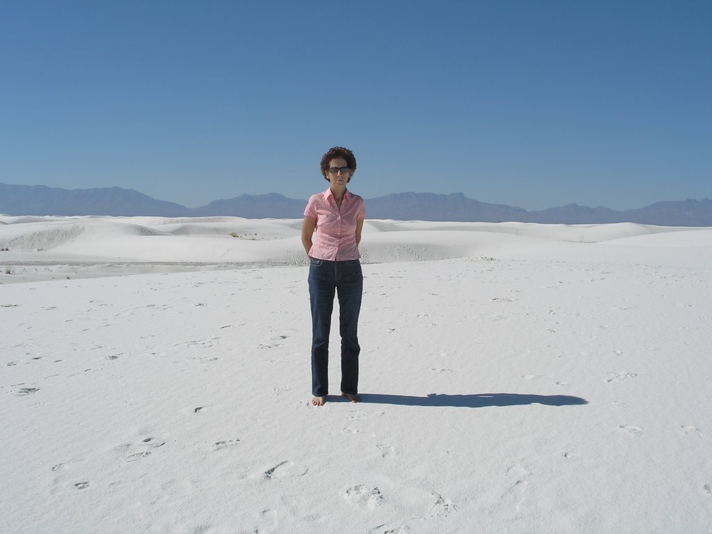
We went hiking in the rugged Organ Mountains northeast of Las Cruces today. The hike today started at 5,500 feet and rose to 6,800 in a four-mile loop that took us over three hours. The hike included a close overlook of the White Sands Missile test facility at the base of the mountains. The views and vistas were stunning as we climbed through the snow and boulders. From 6,500 feet we could see the White Sands National Monument white sand dunes 40 miles distant.

We stumble upon animal tracks and excrement in the mud and snow and try to guess what left the signs. Sometimes I see only Mrs. Phred’s footprints ahead in the snow and realize we are off the trail again.
We were listening around 1 PM Mountain time for a sonic boom from the returning shuttle, but it was decided at the last minute that the shuttle could land at Canaveral, rather than diverting to the White Sands Space Harbor below.

On the hike, looking down at the government base in the desert, I wondered if we might be seeing a secret base, even the fabled Los Alamos. Big things happened here in New Mexico from 1943 to 1945.
“…And these atomic bombs which science burst upon the world that night were strange even to the men who used them.” - H. G. Wells, The World Set Free, 1914
Trinity Site, where the world's first atomic bomb was exploded at 5:29:45 AM on July 16, 1945, is open to the public only twice a year--on the first Saturday in April and October. Trinity is located on the northern end of the 3,200-square-mile White Sands Missile Range below us, between the towns of Carrizozo and Socorro. Visitors need to make a 170-mile drive with no services available. We can see the Southern end of the missile range from our perch.

A one-hour visit to Trinity’s inner fenced area will result in a whole body exposure of one-half to one milliroentgen. In comparison, flying coast to coast in an airliner gives an exposure of between three and five milliroentgens on each trip. Smoking a pack a day adds 40 milliroentgens of exposure in a year.
The heat of the blast melted the desert sand and turned it into a green glassy substance. The green glass is called Trinitite and can still be seen in the area. At one time Trinitite completely covered the depression made by the explosion. Afterward, the depression was filled and much of the Trinitite was taken away by the Nuclear Energy Commission. The remaining Trinitite is still radioactive and should not be picked up as a souvenir.
Los Alamos, New Mexico itself is in a remote location 200 miles north of the White Sands missile test area, about 40 miles west of Santa Fe. It’s near the Bandolier National Monument which contains archeological remnants of Indians that once inhabited the area.
Here’s a link to an album with way too many pictures of the Organ Mountains, cactus in the snow and wild Texas horses.
We went hiking in the rugged Organ Mountains northeast of Las Cruces today. The hike today started at 5,500 feet and rose to 6,800 in a four-mile loop that took us over three hours. The hike included a close overlook of the White Sands Missile test facility at the base of the mountains. The views and vistas were stunning as we climbed through the snow and boulders. From 6,500 feet we could see the White Sands National Monument white sand dunes 40 miles distant.

We stumble upon animal tracks and excrement in the mud and snow and try to guess what left the signs. Sometimes I see only Mrs. Phred’s footprints ahead in the snow and realize we are off the trail again.
We were listening around 1 PM Mountain time for a sonic boom from the returning shuttle, but it was decided at the last minute that the shuttle could land at Canaveral, rather than diverting to the White Sands Space Harbor below.

On the hike, looking down at the government base in the desert, I wondered if we might be seeing a secret base, even the fabled Los Alamos. Big things happened here in New Mexico from 1943 to 1945.
“…And these atomic bombs which science burst upon the world that night were strange even to the men who used them.” - H. G. Wells, The World Set Free, 1914
Trinity Site, where the world's first atomic bomb was exploded at 5:29:45 AM on July 16, 1945, is open to the public only twice a year--on the first Saturday in April and October. Trinity is located on the northern end of the 3,200-square-mile White Sands Missile Range below us, between the towns of Carrizozo and Socorro. Visitors need to make a 170-mile drive with no services available. We can see the Southern end of the missile range from our perch.

A one-hour visit to Trinity’s inner fenced area will result in a whole body exposure of one-half to one milliroentgen. In comparison, flying coast to coast in an airliner gives an exposure of between three and five milliroentgens on each trip. Smoking a pack a day adds 40 milliroentgens of exposure in a year.
The heat of the blast melted the desert sand and turned it into a green glassy substance. The green glass is called Trinitite and can still be seen in the area. At one time Trinitite completely covered the depression made by the explosion. Afterward, the depression was filled and much of the Trinitite was taken away by the Nuclear Energy Commission. The remaining Trinitite is still radioactive and should not be picked up as a souvenir.
Los Alamos, New Mexico itself is in a remote location 200 miles north of the White Sands missile test area, about 40 miles west of Santa Fe. It’s near the Bandolier National Monument which contains archeological remnants of Indians that once inhabited the area.
Here’s a link to an album with way too many pictures of the Organ Mountains, cactus in the snow and wild Texas horses.